
2024 Gets Under Way With Big Snowstorm
Wednesday, January 10, 2024

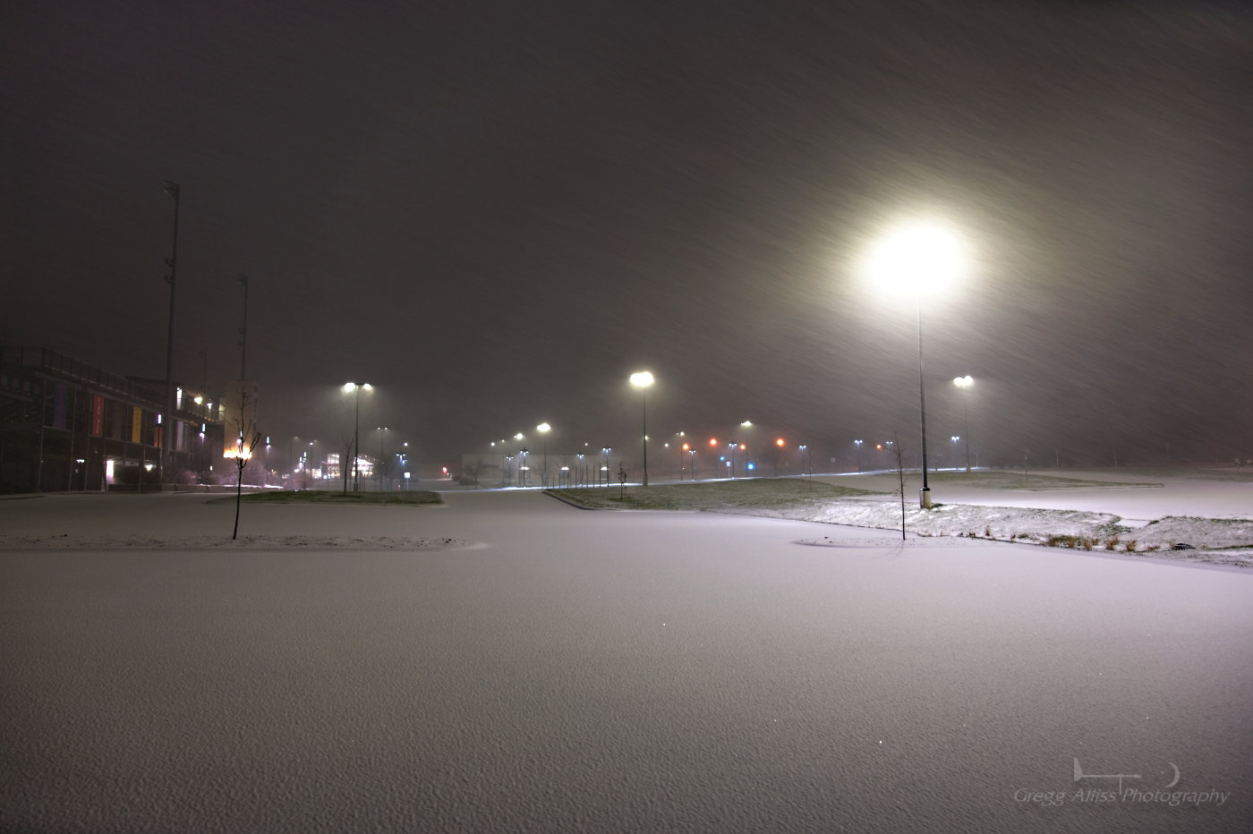
Winter storm warnings were posted in anticipation of a high-confidence event during the morning hours of Monday, January 8, 2024 in Eastern Iowa. Shortly after 6:00 pm the first flakes of snow began to fall, and shortly before 8:00 pm a full-blown snowstorm was under way. The image above looks south from the parking lot of Linn-Mar High School's football stadium in Marion, Iowa at 7:53 pm CST. 1/15 second exposure at f/6.3, ISO 800, 24mm focal length.

Corresponding Radarscope image to top photograph, showing medium-to-heavy snowfall (green).

The following day. The strong storm continues. This image from the National Weather Service in the Quad Cities radar at 11:21 am, Tuesday, January 9, shows heavy snowfall over Cedar Rapids (yellow).

3:06 pm CST, Tuesday, January 9. Electronic sign advises slower speeds and the presence of snow plows while northbound on Interstate 380 at the approach to the "S" curve in downtown Cedar Rapids, Iowa. Road conditions were treacherous from continued snowfall.

3:07 pm. On the "S" curve, with the Quaker Oats plant at left background.


3:08 pm. Leaving the I-380 "S" curve. Quaker Oats at left. iPhone 11 camera.


5:58 pm. Similar image. 1 second exposure at f/5, ISO 100, 24mm focal length. Cedar Rapids received some 10 inches of snow from this significant event. Nikon Z6ii camera.


0 comments:
Post a Comment