
And It Begins...
Friday, March 12, 2021


Radarscope image closely corresponding to the photograph at top showing the severe-warned polygon.

The severe weather event on March 10 was for the most part unexpected. At the start of day the Storm Prediction Center (SPC) posted chances of mild thunderstorms over Iowa, and less than 2% tornado probability. But by 1:52 pm a Slight Risk was posted for Central Iowa (above), with a 5% tornado probability.

Tornado Watch 16 posted for central and northeast Iowa at 2:40 pm CST.
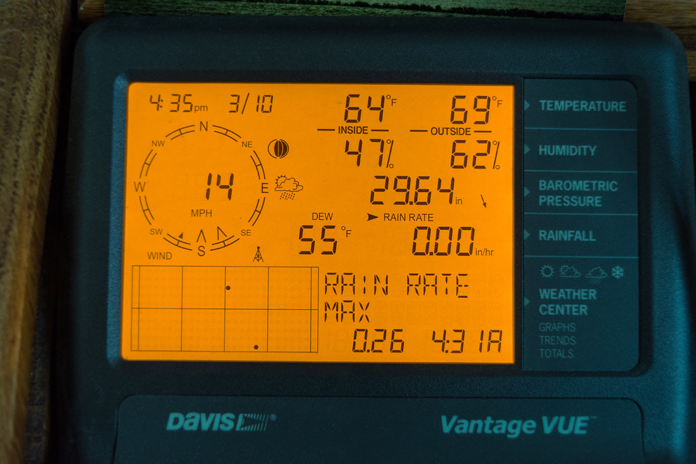
My weather station monitor at 4:35 pm, showing very springlike conditions.

WeatherTap radar screen for 6:14 pm CST, showing copious amounts of lightning and the tornado watch areas. These storms quickly weakened and became linear, containing rain and some wind, and rolled through the Cedar Rapids area around 8:00 pm.


0 comments:
Post a Comment