
June 12 Cedar Rapids Linear Storms
Saturday, June 15, 2019

A (non-severe) line of linear storms approached Cedar Rapids, Iowa just before 6:00 pm CDT on Wednesday, June 12, 2019. Though not overly powerful, they were nevertheless aesthetic in appearance. The image above, captured at 6:07 pm, looks northwest over Bowman Woods Park in Cedar Rapids. The storm is less than five minutes away.

6:07 pm. Panorama version of the incoming line of storms.

6:08 pm. Rain saturation in the clouds is beginning to show. Wind speeds of 40-50 mph occurred as the storm passed through this location, including heavy rain and BB size hail.

College of DuPage GOES16 visible satellite image, corresponding to 6:01 pm. My location is indicated by the target icon.

Radarscope image corresponding to 6:10 pm. The storm was moving in a southeasterly direction.
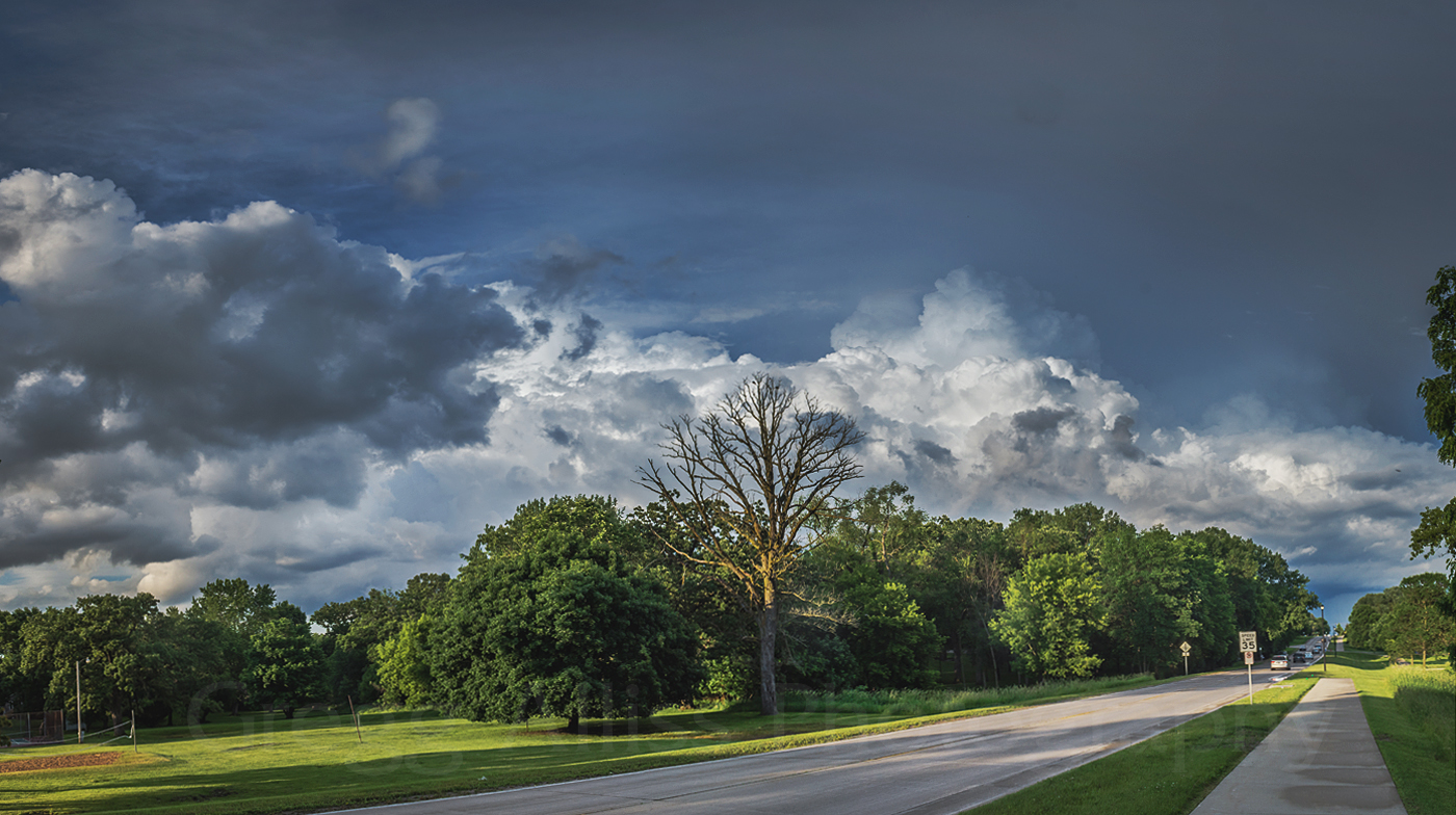
An hour later another line of storms passed just north of my location. In the image above, thunder was rumbling from this storm at 7:23 pm. Panoramic view looks northeast from Boyson Road, just east of Brentwood Drive NE in Cedar Rapids.

Similar shot at 7:25 pm. Nikon D7200 DSLR camera.


0 comments:
Post a Comment