
Bringing Up The Rear
Thursday, August 16, 2012


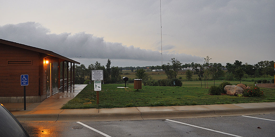
This impressive looking incoming line of clouds, resembling a shelf or roll cloud, was actually on the back side of a storm system that rolled into the area before 4:00 AM on Thursday, August 16, 2012. These images were taken from Fay Clark Park in Hiawatha, Iowa around 7:15 AM. The top image looks southwest, the middle west and the bottom northwest. The park's pavilion is seen in the bottom image at left. This line of clouds produced some gusty winds as it passed over and created virtually no radar signature. True shelf or roll clouds are positioned along the leading edge of a gust front thunderstorm.


0 comments:
Post a Comment